Upravit stránku

Division ENVIRONMENT – Enviprojecter offers servise „geophysical surfy for investigation of environment“.

Geophysical methods are used in engineering geology, hydrogeology, deposit geology, environment, civil engineering, etc. to get a detailed knowledge of the geological forming, geological structures, environment composition and distribution thereof according to varying physical properties. This helps researchers (geologists, ecologists, planners in civil engineering and environment, geotechnicians, etc.) to narrow knowledge of the subject area, which is mostly based on point data (drillings, excavations, probing) and enable to use more reliable supports for further decision making.

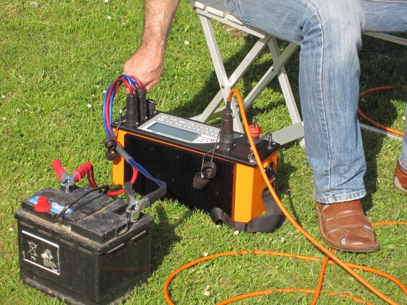
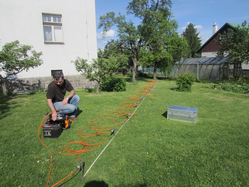
Geoelectrical methods have been used as a base layer, as these use variability of the environment's specific resistance (capping, disturbed and undisturbed rock, fault structures, lost excavations, etc.) to identify and map these structures, specify their position and dimensions.

Aside from classical resistance profiling methods (using various alignment types - Wenner, Schlumberg alignment, dipole alignment), used to quickly identify borders of objects with varying conductivity (e.g. conductive structures of tectonic faults binding water-bearing positions, which can be used to set up a water resource) and resistance probing methods (vertical electric probing), the multi-electrode resistance method (i.e. the resistance tomography) is used as the method of choice.

The multi-electrode method measurement interpretation using a software calculation of the inversion model leads to a direct mapping of structures with different specific resistance values corresponding to the rock environment with different physical properties.

Investigation for drinking water resources

Investigation for drinking water resources

Investigation for buried constructions

Investigation for buried constructions

Geophysical methods are used mainly to:

  • quickly search large areas with the aim to identify and map objects with different physical properties (distinction of disturbed and undisturbed rocks, specification of the geological nature of the area - petrologic composition, search for "lost" constructions - excavations, cellars, tanks, etc.); to check for hydrogeological structures in order to set up drinking water resources, to protect water resources,
  • barrage leakages, pollution leaking from dumps and industrial resources,
  • research for construction purposes (searching for the depth of the rocky bottom layer, defining workability of rocks),
  • aside from the proposal and carrying out of geophysical measurements we provide consulting in the domain of using the geophysical measurements for specific purposes as well as a fitness test

This website uses cookies

This website is using cookies to provide services, personalize ads, and monitor traffic. By continuing to use this site you are agreeing with usage of cookies. More information.

Settings

Your privacy is important. You can choose from the cookie settings below. More information.