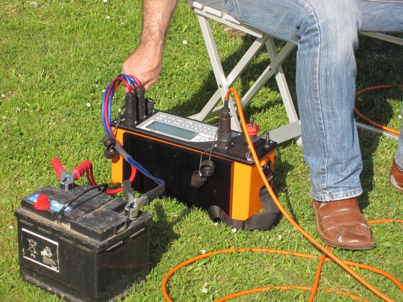
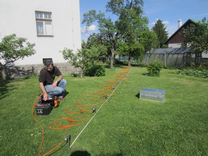
Division ENVIRONMENT – Enviprojecter offers servise „geophysical surfy for investigation of environment“.
Geophysical methods are used in engineering geology, hydrogeology, deposit geology, environment, civil engineering, etc. to get a detailed knowledge of the geological forming, geological structures, environment composition and distribution thereof according to varying physical properties. This helps researchers (geologists, ecologists, planners in civil engineering and environment, geotechnicians, etc.) to narrow knowledge of the subject area, which is mostly based on point data (drillings, excavations, probing) and enable to use more reliable supports for further decision making.
Geoelectrical methods have been used as a base layer, as these use variability of the environment's specific resistance (capping, disturbed and undisturbed rock, fault structures, lost excavations, etc.) to identify and map these structures, specify their position and dimensions.


